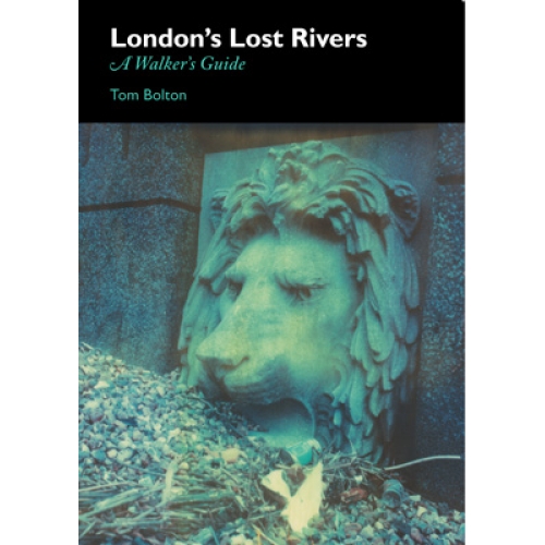
by Christopher Fowler.
Wherever you live in London, you’re never far from water. I used to live off Angler’s Lane in Kentish Town, beside a fisherman’s pub that is now a Nando’s, and once helped to dig out an underground tributary in Soho, where I found myself surrounded by clay pipes and animal bones washed down from the butcheries on the riverbanks. The rivers are all around us, but remain frustratingly elusive.
Imagine a cutaway diagram of London from the ground up; its terraces, shops, offices, public buildings, stations and substations, extending from the few remaining single-story bungalows to the top of the Shard. Now mirror that image downwards to form a reversal, a ghost-map, a city inverted. What do we find below? Basements, tunnels, railways, ducts, security bases, crypts, wells, tubes of all kinds. And connecting them, a hidden roadmap created by the rivers of London.
It has become a pub game; how many of London’s lost rivers can you name? Some of us know that London is bookended by the Brent and the Lea. More know a little about the Fleet and its tributaries, but it wasn’t until I moved to King’s Cross that I realized I could see one from my kitchen. Blocking the channels with detritus and culverting them was not enough to stem the flow of rushing stormwater; every time it rains, the Regent Canal towpath opposite my window floods, water bubbling up through the cracks in the paving. Cyclists skid, children splash and adults detour around the small lake that forms, but nobody thinks about why it’s there.
In the basement of the converted warehouse in which I live, there’s a filled-in Victorian well. Further along the street, another eruption of floodwater, rising through drains and split macadam. In King’s Place, new home of the Guardian newspaper, there’s another well, extraordinarily deep. It was filled in when the old pub on this site, the Waterside Inn, was pulled down. I watched the workmen puzzling out how to demolish it.
So the water pushes South, to Sadler’s Wells, to Clerkenwell, to Bridewell, and finally to the river Thames itself. Map the wells, connect the lines and you start to redefine London’s topography. Overlay the result onto the most current map of the metropolis, and you understand the present. This is no mere exercise in geography, for the rivers tell you something more.
I was drawn to ghost stories because I came to understand why they worked. The streets of ancient London followed the lines of hedgerows, which of necessity followed the rivers, because fields have to be watered. The lowlands were poor areas largely because they were close to the water-table and always damp. Water and fog brought respiratory illness, and early deaths created superstitions; that’s why ghost stories were more associated with say, the poor East End than the city’s prosperous hilly North. The sooty, partly derelict London of my early childhood was a city of ghosts.
The underground rivers became sewers, and canals were often riverways remade by man, but when we think of canals we conjure Venice, not Berlin or St Petersburg or London. Especially not London. In 1849 Charles Kingsley described the environment of Bermondsey residents; ‘the water of the common sewer which stagnates, full of…dead fish, cats and dogs, under their windows.’ And yet J Stewart’s depiction of the notorious Jacob’s Island, painted just nine years earlier, makes that cholera-riddled waterway a place of almost Mediterranean charm.
This, in a nutshell, is the paradox of the lost rivers. Despite the fact that mere proximity to them eventually became enough to kill you, their mystical significance was once so strong that the Romans floated gods upon their waters. Now, with walking maps to guide us, the journey of the hidden rivers becomes clearer.
Christopher Fowler, King’s Cross, 2011
Christopher’s blog.
SF Said’s ‘London’s Lost Rivers Polaroids’ are on display at Magg’s Gallery, London, until 19 April.