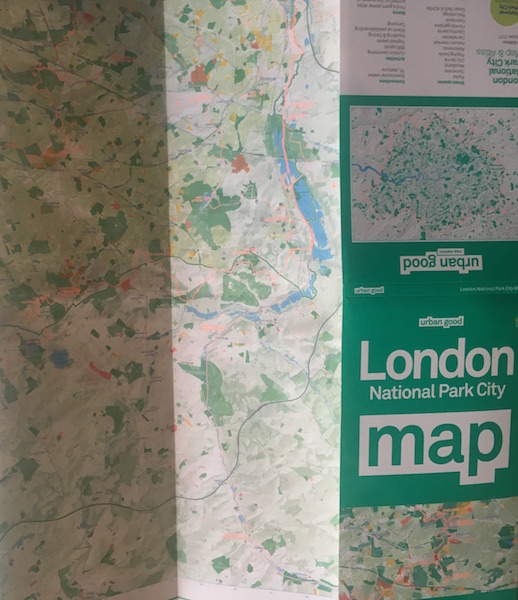
A couple of weeks ago, we received our copy of the Greater London National Park City Initiative’s beautiful map, and we can’t help but evangelise.
Crowdfunded by 308 backers and produced by Urban Good CIC, the massive fold-out map includes all of the capital’s 3,000 parks plus woodlands, playing fields, nature reserves, city farms, rivers, canals and all the spaces that contribute to London’s landscape. Some of the most iconic walks through and around London are included, such as the London Loop and Capital Ring, along with symbols marking places to swim outdoors, climb hills, pitch a tent or go kayaking. It even shows front and back gardens – but no buildings!
1,000 free copies of the map are available (with a small charge to cover postage and handling costs) to the first lucky people to place orders on the Urban Good website.
More information, including details of how to order, is available here.