Open at the People’s History Museum, Manchester, until February 2022, Vanished Streets is an exhibition of 1970s photographs of lost Jewish Manchester by Shloimy Alman.
In 1977, Alman, a young Jewish youth worker from Manchester, started photographing the remnants of Jewish life in the streets of his youth around Cheetham Hill.
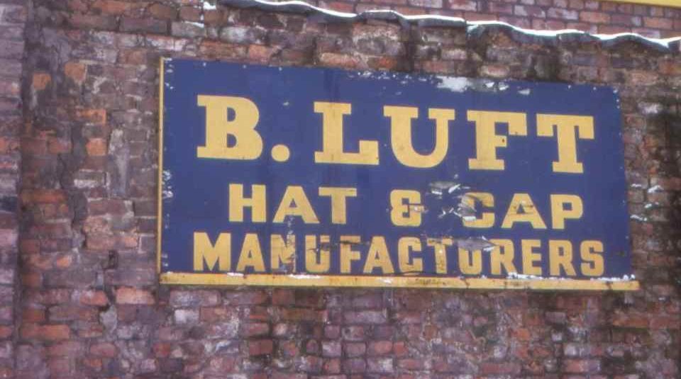
Shloimy wandered around the area repeatedly, documenting local characters, businesses, synagogues and Jewish institutions. His collection of over 300 colour slides taken during this period now remains as a unique record of a disappeared world.
In 1978 Shloimy immigrated to Israel, and his photographs of Jewish Manchester and London remained in a locked cupboard at his home until May 2019 when writer and oral historian Rachel Lichtenstein visited him and scanned the images.
Shloimy’s photographs of Jewish London were shown to great acclaim in 2019 in London. Shloimy’s photographs of lost Jewish Manchester have never been publically seen before; revealed for the first time in this fascinating exhibition. The photographs are available to buy in book form (£5), compiled and commentated by Lichtenstein.
The exhibition includes access to the Memory Map of Jewish Manchester: an interactive website, which maps stories, histories and memories of the Jewish community who once lived in the Cheetham Hill, Strangeways and Hightown areas of North Manchester between the two world wars. This can also be accessed online.
The Memory Map of Jewish Manchester aims to create a lasting document of the living memory of Manchester Jewry in this area during this period by locating a number of sites that consistently occur in people’s recollections. These places include shops, synagogues, schools, cinemas, cafes, streets and youth clubs amongst many other places. Some of these buildings no longer exist, but the location will be marked on this freely accessible digital map, which users can explore remotely and listen to excerpts from oral history interviews, see photographs, and read information about more than 40 sites.
The open-source platform for this project was developed by the Bartlett Faculty for the Built Environment, University College London for www.jewisheastendmemorymap.org (2020).
The Memory Map of Jewish Manchester has been produced by Dr Rachel Lichtenstein of Manchester Metropolitan University, assisted by Paul Darby. The audio clips and copy for each site have been provided by Dr Ros Livshin, oral historian of Manchester Jewry who has also operated as historical advisor and expert throughout this project. The platform has been developed by Dr Duncan Hay.
This project is funded by the Jewish Historical Society of England and the History Research Centre of Manchester Metropolitan University, with considerable support from the Manchester Jewish Museum.